Kelas Kartografi Subversif: Metode Alternatif untuk Mencurigai Peta Lalu Menghancurkannya
Curator: Syarifa Amira Satrioputri
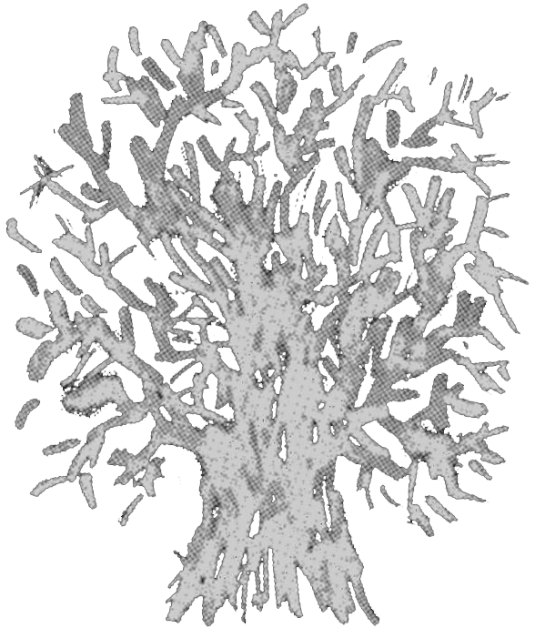
Ketika melihat peta wilayah sebuah negara di dinding kelas, kita dapat mengenali pulau-pulaunya, karena tahu bahwa pulau terbentuk secara alami. Lalu kita bertanya: siapa yang membuat garis pembatas negara, provinsi, dan seterusnya? Padahal batas ini dapat menguak narasi tersembunyi di dalam peta. Pemakluman kita selama ini terhadap garis batas menihilkan kontinuitas tradisi yang hidup di lokasi tersebut. Yang tersisa hanyalah jaringan sejarah, otoritas, fungsi, dan simbol, yang menciptakan ilmu kartografi yang tidak netral.
Kumpulan film dalam program ini membuat kita membayangkan seolah berada di dalam sebuah kelas bernama “Kelas Dekonstruksi Kartografi Subversif”—kelas yang memiliki metode untuk membaca kekerasan epistemik kartografi secara performatif dan ironis: meminjam metode kartografi modern untuk mengintervensi strukturnya sendiri. Film-film dalam kelas ini merupakan rangkaian modul yang berfungsi sebagai pisau analisis atas keagensian peta dan sarana merangkai spekulasi. Kelas ini dirancang sebagai medan konflik: narasi peta dicurigai, dikritisi, dan disabotase.
Modul 1: Prinsip Dasar Pemetaan Berperspektif Lingkungan
Demi menghindari kritik yang kontraproduktif, penting untuk memahami prinsip dasar pemetaan. Dalam sejarah kolonialisme, metode pemetaan mula-mula dikembangkan oleh Inggris untuk menginventarisasi sumber daya alam di negara jajahan. Metode ini mapan dan digunakan karena kepraktisannya.
Dalam Silent Panorama (2024), digambarkan dinamika agensi subjek-subjek melalui sketsa visual yang mengisi ruang panorama gunung. Film ini mengadopsi prinsip peta konvensional melalui penciptaan garis batas yang menunjukkan teritori lewat jalur sirkulasi subjek. Subjek-subjek—mulai dari babi, manusia, hingga mesin—dibebaskan bergerak dan saling mengintervensi, membentuk jaringan ekologis tanpa mempedulikan destruktivitas lanskap.
Dalam kartografi, objek dan lokasi disederhanakan ke dalam satuan reduktif berupa simbol, garis, skala, dan koordinat, tanpa menghadirkan kompleksitas lanskap. Dalam film ini, tak ada batas skala atau legenda tetap, melainkan proses pemetaan yang lambat, reflektif, dan tak pernah final.
Modul 2: Latihan Pemetaan Kekerasan
Setelah memahami prinsip dasar pemetaan pada Modul 1, dua film selanjutnya menguji kemampuan membaca peta melalui studi kasus nyata dan frontal. Selain menyajikan realitas, modul ini juga menantang praktik pemetaan kekerasan di suatu lokasi secara kontekstual. Pemetaan ini melibatkan kesadaran terhadap situasi sosial, politik, dan tradisi yang bekerja di kawasan tersebut, sehingga analisis problematika wilayah dapat dilakukan dengan basis struktural yang melampaui sekadar navigasi permukaan.
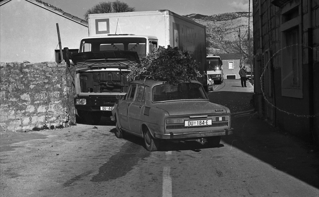
Greetings from the Secretariat (2024) menjadi film pertama di kelas ini melalui studi kasus kriminalitas di sebuah lokasi di Kroasia, menggunakan foto-foto arsip forensik dari bekas kantor kepolisian. Foto-foto kasus yang tidak saling berkaitan—mulai dari grafiti Nazi, isu etnis pasca-perpecahan Yugoslavia, kecelakaan mobil, pembunuhan sapi, hingga kematian manusia—diurutkan tanpa penjelasan naratif, memicu pembacaan spekulatif tentang konflik regional. Film ini bertanya: apakah yang kita saksikan hanyalah catatan kriminal, atau juga kegagalan sosialisme dalam menghadapi perpecahan sejarah dan kejahatan yang difasilitasinya?
Tantangan berbeda muncul dalam City of Poets (2024), di mana bentuk kekerasan terasa lebih abstrak namun puitis. Film ini menarasikan kota imajiner yang terus-menerus mengganti nama jalannya, dari nama pujangga menjadi pahlawan, teknokrat, atlet, hingga semakin netral menjadi nama bunga. Dengan menghapus konteks wilayah, penonton diajak menavigasi represi sistemik melalui penghilangan sejarah figur dari memori kolektif masyarakat.
Modul 3: Alternatif Visualisasi Nonkartografis Eksperimental
Sebagai presentasi, peta dapat memainkan perannya sebagai pemandu gagasan dengan cara bersilang ide secara eksperimental bersama agen lain. Eksperimentasi ini mampu memunculkan khazanah pembacaan kritis yang jauh lebih kaya dibandingkan penyajian konvensional.
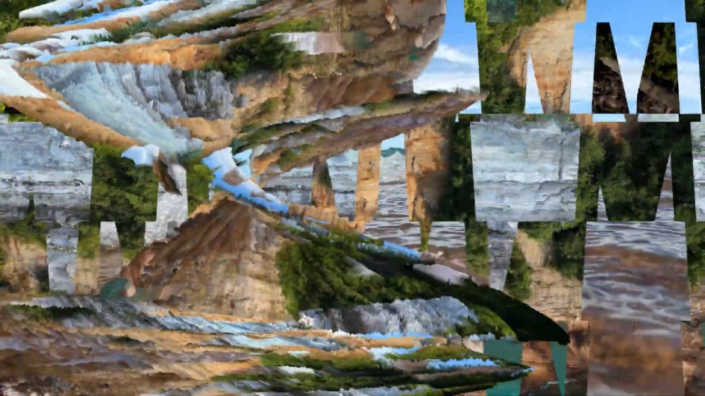
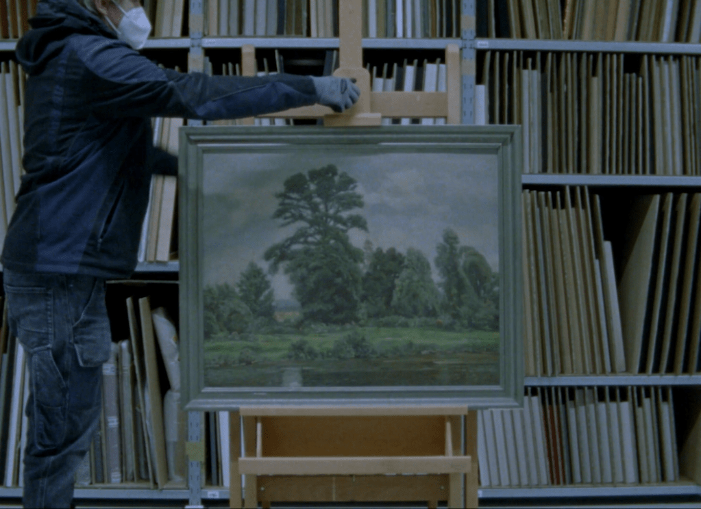
Relief Relief (2023) menelusuri transformasi visual Sungai March di Ceko dengan menghadirkan beragam medium visualisasi: lukisan, dokumen formal seperti arsip fotografi, peta topografi, dokumen pemerintah, hingga rekaman situs sekitar sungai yang direspons melalui seni performans. Penawaran yang tak lazim ini membuka cara membaca lanskap dari lukisan naturalis—representasi yang sarat subjektivitas. Di antara metode-metode tersebut, dihadirkan metafora relief figur manusia yang selama ini absen dari arsip.
Modul 4: Memunculkan Jejak Kolektivitas di Atas Politik Kartografi
Kartografi dilingkupi jaringan kuasa sistematis dan bertutur melalui bahasa otoritas: wilayah dinamai, diukur, dan ditempatkan secara tidak demokratis. Kontrol atas penduduk, alam, dan konflik dijalankan melalui satuan peta yang melegitimasi batas teritorial, seperti negara dengan seluruh perangkat dan program ekstraksinya. Kehadiran atau penghapusan kepentingan masyarakat ditentukan oleh peta, dengan konsekuensi mengaburkan makna ruang hidup.
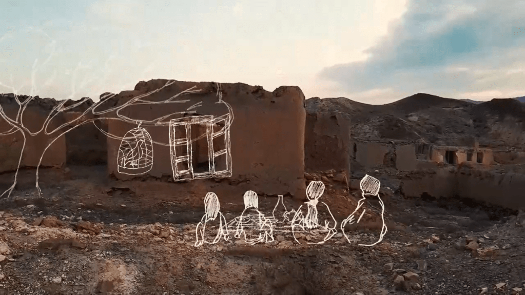
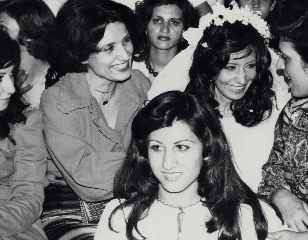
Politik kartografi melahirkan ketimpangan sosial. Peta tidak mampu memuat pengetahuan afektif tentang kolektivitas. Voices of the Mountain (2025) menyingkap jejak kolektivitas yang pernah ada melalui eksperimen puisi sebagai basis pemetaan. Para subjek imajiner bertutur, berdampingan dengan sketsa visual sistem kolektif masa lalu pada reruntuhan puing bangunan—mulai dari air, burung, manusia, hingga pasar. Alih-alih peta konvensional, film ini membangun peta afektif yang menawarkan jawaban alternatif atas krisis masa kini.
Modul 5: Menghancurkan Peta
Montase yang dihadirkan modul sebelumnya merupakan bentuk pemetaan alternatif yang efektif, menawarkan eksperimentasi artistik melalui sinema. Kartografi, yang diciptakan pada era kolonialisme untuk memetakan teritori kekuasaan berbasis ekonomi dan kemudian berkembang dalam wacana demokrasi, kini diintervensi. Setelah memahami prinsip dasar, konteks, metode alternatif, dan cara mengintervensi peta konvensional, pada modul terakhir ini kita membayangkan aksi penghancuran peta itu sendiri.
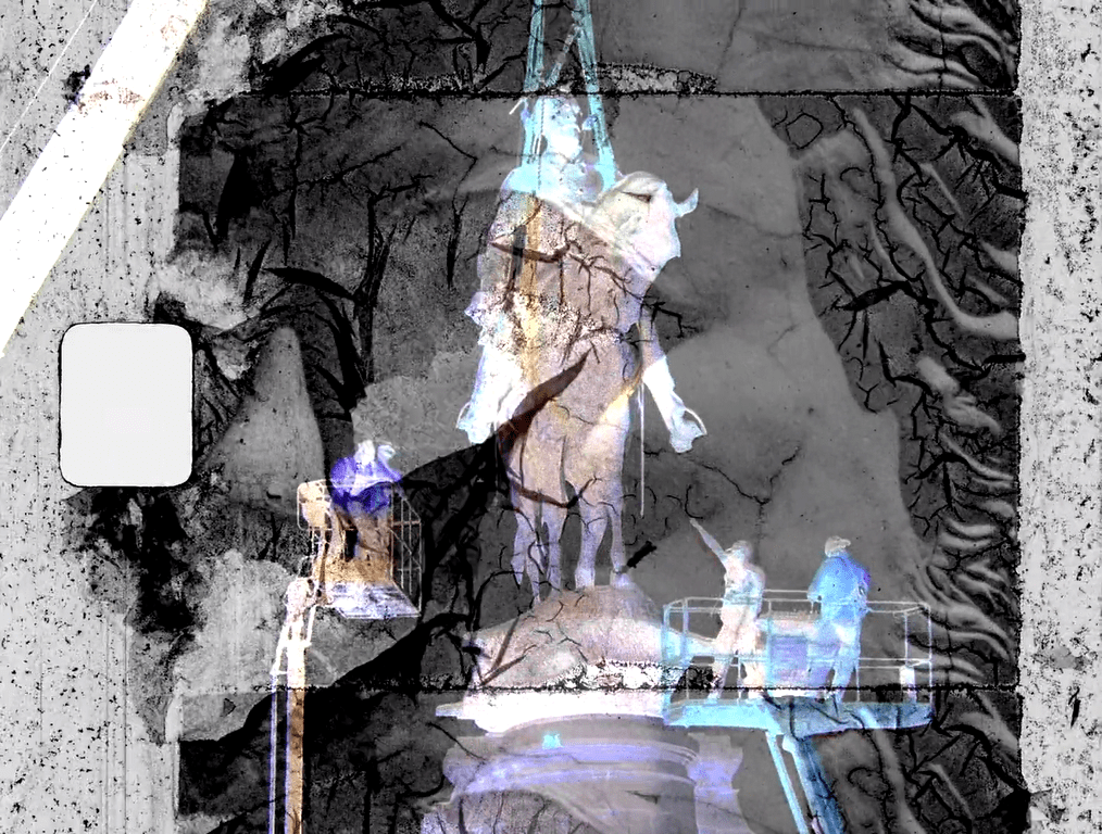
Dalam Monument (2025), dokumentasi demonstrasi Black Lives Matter di Amerika disandingkan secara frontal dengan gambar para pendiri bangsa yang dianggap tonggak demokrasi. Pembuatan peta alternatif semacam ini menjadi metode untuk mencurigai dan menghancurkan peta. Film ini meruntuhkan simbol negara yang dibangun era Perang Dunia I dengan membenturkannya pada perang yang lebih dekat—sejarah ketidakadilan yang tak kunjung selesai.
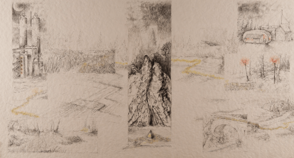
No Time of Deep Time (2025) menampilkan lanskap alam yang dideformasi total melalui rekayasa visual berulang, sehingga keteraturannya berlapis-lapis hingga tak terbaca. Film ini menunjukkan grafis relativitas antara skala waktu geologi—mencakup miliaran tahun—dan skala waktu manusia yang singkat. Kontras ini menghadirkan cara melihat bumi secara mendalam sebagai bentuk penghancuran peta peradaban manusia.
“Kelas Kartografi Subversif” hanya memberi sketsa awal untuk mencurigai peta, sebab yang dibutuhkan bukan peta absolut, melainkan keberanian berspekulasi demi mengguncang otoritas. Dari ketidakpastian ini, tersisa satu hal pasti: selama kita terus mencurigai peta, jalur kemungkinan tak akan pernah benar-benar tertutup.
When we look at a map of a country on the classroom wall, we can recognize its islands, because we know that islands are formed naturally. We wonder: who drew the borders of the country, provinces, and so on? Yet these borders reveal hidden narratives within the map. Our long-standing acceptance of these borders erases the continuity of traditions that have existed in those locations. What remains is a network of history, authority, function, and symbols, which creates a cartography that is not neutral.
The collection of films in this program makes us imagine being in a class called “Subversive Cartography Class”—a class that has methods for reading the epistemic violence of cartography in a performative and ironic way: borrowing modern cartography methods to intervene in its own structure. The films in this class form a series of modules that function as analytical tools for examining the agency of maps and as means for constructing speculation. This class is designed as a field of conflict: map narratives are suspected, criticized, and sabotaged.
Module 1: Basic Principles of Environmentally-Oriented Mapping
In order to avoid counterproductive criticism, it is essential to understand the basic principles of mapping. During the colonial era, mapping methods were initially developed by the British to inventorize natural resources in their colonies. These methods were established and widely used due to their practicality.
In Silent Panorama (2024), the dynamics of subject agency are depicted through visual sketches that fill the mountain panorama space. The film adopts the principles of conventional maps through the creation of boundary lines that indicate territory through the circulation paths of subjects. Subjects—from pigs, humans, to machines—are free to move and interact with one another, forming an ecological network regardless of the destructivity of landscape.
In cartography, objects and locations are simplified into reductive units such as symbols, lines, scales, and coordinates, without presenting the complexity of the landscape. In this film, there are no fixed scales or legends, but rather a slow, reflective, and never-ending mapping process.
Module 2: Violence Mapping Exercise
After getting the hang of the basics of mapping in Module 1, the next two films test the ability to map through actual and straightforward case studies. Besides confronting reality, this module also challenges the practice of mapping violence in a location in a contextual manner. This mapping involves awareness of the social, political, and traditional situations at work in the area, so that the analysis of regional issues can be carried out on a structural basis that goes beyond mere surface navigation.
Greetings from the Secretariat (2024) is the first film in this module, through a case study of crime in a location in Croatia, using forensic archive photos from a neglected police station. The unrelated case photos—ranging from Nazi graffiti, post-Yugoslavia ethnic issues, car accidents, cow killings, to human deaths—are arranged without narrative explanation, provoking speculative readings of regional conflicts. The film asks: are we witnessing merely criminal records, or also the failure of socialism in addressing historical divisions and the crimes it facilitated?
A different challenge lies in City of Poets (2024), where violence becomes more abstract yet poetic. The film narrates an imaginary city that constantly changes the names of its streets, from poets to heroes, technocrats, athletes, and increasingly neutral names such as flowers. By removing the regional context, the audience is invited to navigate systemic repression through the erasure of historical figures from the collective memory of society.
Module 3: Experimental Non-Cartographic Visualization Alternatives
As a presentation, maps can play a role as guides for ideas by experimentally crossing ideas with other agents. This experimentation can bring out much wider critical readings than conventional presentations.
Relief Relief (2023) explores the visual transformation of the March River in the Czech Republic by presenting a variety of visualization mediums: paintings, formal documents such as photographic archives, topographic maps, government documents, and recordings of sites around the river that are responded to through performance art. This unconventional offering opens up a way of reading the landscape from naturalist paintings—representations that are laden with subjectivity. Among these methods, a metaphor of human relief that has been absent from the archives is presented.
Module 4: Revealing Traces of Collectivity on Cartographic Politics
Cartography is surrounded by a systematic network of power and speaks through the language of authority: territories are named, measured, and placed in a non-democratic manner. Control over people, nature, and conflicts is enforced through maps that legitimize territorial boundaries, such as countries with all their instruments and extraction programs. The presence or erasure of community interests is determined by maps, with the consequence of obscuring the meaning of living space.
Cartographic politics gives rise to social inequality. Maps cannot contain affective knowledge about collectivity. Voices of the Mountain (2025) reveals the traces of collectivity that once existed through poetic experiments as a basis for mapping. Imaginary subjects narrate, alongside visual sketches of past collective systems on the ruins of buildings—from water, birds, humans, to markets. Instead of conventional maps, this film constructs an affective map offering alternative answers to the current crisis.
Module 5: Destroying the Map
The montage presented in the previous module is an effective form of alternative mapping, offering artistic experimentation through cinema. Cartography, which was created during the colonial era to map territories of economic power and later developed in the discourse of democracy, is now being intervened. After understanding the basic principles, context, alternative methods, and ways to intervene in conventional maps, in this final module we imagine the act of destroying the map itself.
In Monument (2025), documentation of the Black Lives Matter demonstrations in America is juxtaposed head-on with images of the founding fathers, who are considered pillars of democracy. The creation of such alternative maps becomes a method of suspecting and destroying maps. This film dismantles the symbols of the state built during World War I by colliding them with a more recent war—the unresolved history of injustice.
No Time of Deep Time (2025) presents a landscape of nature that has been completely deformed through repeated visual engineering, so that its layers of order become unrecognizable. The film shows the relativity between the geological time scale—spanning billions of years—and the short human time scale. This contrast presents a way of seeing the earth in depth as a form of destruction of the map of human civilization.
The “Subversive Cartography Class” only provides a rough sketch for questioning maps, because what is needed is not an absolute map, but the courage to speculate in order to destabilize authority. From this uncertainty, one thing remains certain: as long as we continue to question maps, the path of possibility will never truly be closed.
Films
Curator’s biography
[Teks Indonesia biografi kurator.]
[English text of curator’s biography.]
